12006
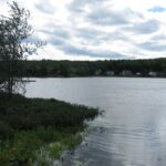
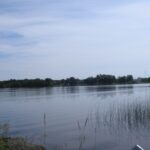
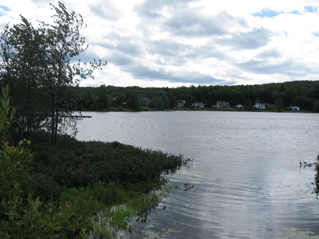
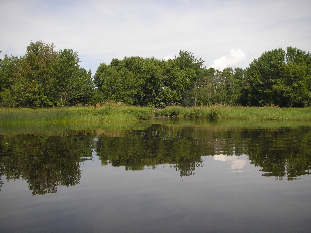
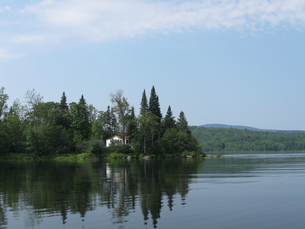
 Lac des Journalistes, juillet 2009
 Lac des Journalistes, juillet 2009
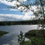
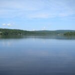
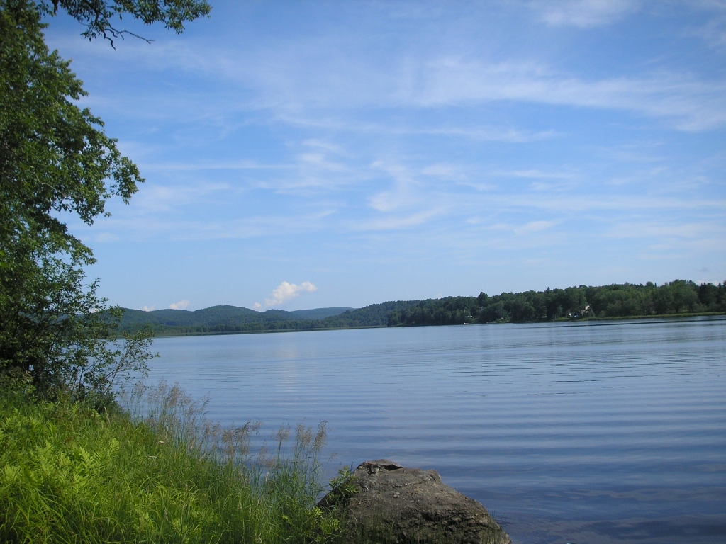
 Lac des Journalistes, juillet 2010
 Lac des Journalistes, juillet 2010
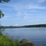
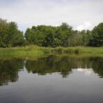
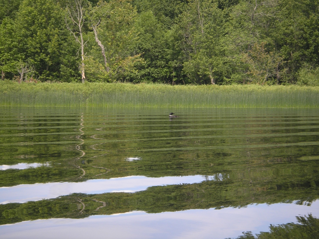
 Lac des Journalistes, juillet 2009
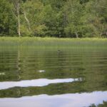
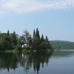
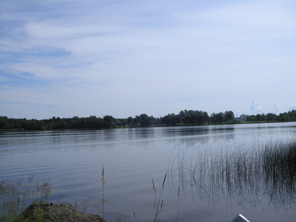
 Lac des Journalistes, juillet 2010
 Lac des Journalistes, juillet 2010
 Lac des Journalistes, juillet 2010
Lac Journalistes
Description du lac et du bassin versant
Identification
- Nom du lac : Journalistes
- Coordonnées géographiques : 46°42'56"N -75°27'46"O
- Numéro RSVL : 572
- MRC:
Antoine-Labelle - Municipalité:
Ferme-Neuve
-
OBV:
Comité du bassin versant de la rivière du Lièvre
Données morphométriques et hydrologiques
- Superficie du lac: km²
- Volume du lac: m³
- Profondeur maximale: m
- Profondeur moyenne: m
- Altitude: m
- Superficie du bassin versant incluant les lacs: km²
- Temps de renouvellement: 0,00 année
- Ratio de drainage: 0.00
- Profondeur maximale de croissance des macrophytes:
- Pourcentage du fond du lac colonisable par les macrophytes:
Règlements, politiques et usages
- Municipalité Ferme-Neuve: Règlements
- Municipalité Ferme-Neuve: Environnement
- MRC Antoine-Labelle: Règlements
- MRC Antoine-Labelle: Environnement
Études et rapports
-
Qualité de l'eau
-
Réseau de surveillance volontaire des lacs
-
-
Soutien technique des lacs
Vie associative
Photos
 Lac des Journalistes, juillet 2009
 Lac des Journalistes, juillet 2009
 Lac des Journalistes, juillet 2010
 Lac des Journalistes, juillet 2010
 Lac des Journalistes, juillet 2009
 Lac des Journalistes, juillet 2010
 Lac des Journalistes, juillet 2010
 Lac des Journalistes, juillet 2010


Cartes
Il n'y a pas d'autre carte associée à ce lac pour l'instant
Références et outils
- Groupe de recherche interuniversitaire en limnologie – GRIL
-
Ministère de l’Environnement, de la Lutte contre les changements climatiques, de la Faune et des Parcs- MELCCFP
- Direction régionale (Montréal, Laval, Lanaudière et Laurentides) : https://www.quebec.ca/gouvernement/ministere/environnement/coordonnees/adresses-des-directions-regionales/
- Réseau de surveillance volontaire des lacs : https://www.environnement.gouv.qc.ca/eau/rsvl/
- Section rivières et lacs : https://www.environnement.gouv.qc.ca/eau/flrivlac/riv-lac.htm
- Urgence Environnement : https://www.environnement.gouv.qc.ca/ministere/rejoindr/urgence.htm
-
Publications et outils du CRE Laurentides
- Section Eau- Lacs : https://crelaurentides.org/documentation/#Eau